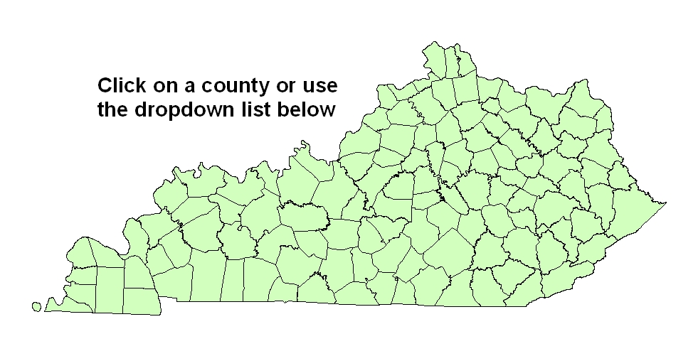


Each groundwater resource report is a compilation of information on hydrology, geology, topography, water supply, and water quality taken from maps, reports, and data collected from 1940 to 2000. The primary mode of accessing the information is via the Internet--for example, by linking to the KGS Water Research Library on the Kentucky Geological Survey's Web site. The digital form of the reports, and their ability to link to data anywhere on the Internet, make them dynamic tools for gathering information. Links are highlighted in blue. Most of the links are to document files or maps in Adobe PDF files. The PDF files may be viewed with the free Acrobat Reader. Some of the files are large and, depending on your system, you may prefer to download the files overnight. A few maps may be in MrSid file format. These files are viewable with the free MrSid Viewer, with ESRI GIS software, and with any other MrSid-compatible software.
The current compilation is by no means exhaustive; no doubt valuable data have been overlooked. As new or more-detailed information becomes available, it can be easily linked to the reports.
titlehough these reports may be of value to planners and geologists for strategic planning and feasibility studies, they cannot replace field investigations for the development or assessment of site-specific groundwater resources.
Disclaimer Statement
The Kentucky Geological Survey (KGS) is constantly gathering data from multiple sources, interpreting the data it gathers, and reflecting its interpretations on maps such as those in these reports. Reasonable efforts have been made by KGS to verify that these maps and the digital data provided thereon accurately interpret the source data used in its preparation; however, these maps may contain omissions and errors in scale, resolution, rectification, positional accuracy, development methodology, interpretations of source data, and other circumstances. As additional data become available to KGS, and as verification of source data continues, these maps may be reinterpreted or updated by KGS. These maps are designed at a designated scale and should not be enlarged. Furthermore, these maps should not be used for navigational, engineering, legal, or any other site-specific use. Nothing contained herein shall be deemed an expressed or implied waiver of the sovereign immunity of the Commonwetitleh or its duly authorized representatives, agents, or employees.
Acknowledgments
Many individuals and several agencies provided information and assistance in the preparation of this atlas. GIS students at the Federal Bureau of Prisons-Atwood Camp in Lexington, Ky., prepared index maps and created spatial data from historical well maps. Staff members of the Kentucky Natural Resources Information System provided technical and programming assistance. Reports from the Kentucky Division of Water, the U.S. Geological Survey, the Kentucky Geological Survey, the Water Resource Development Commission, the U.S. Census Bureau, and other agencies were used. And finally, the atlas would not have been completed at this time if the Water Resource Development Commission had not promoted the project and provided both financial and technical support.