
A large crowd of at least 145 people participated in the 54th annual KGS seminar on Friday, May 16, at the KGS Well Sample and Core Library. The theme for the seminar was "Monitoring Kentucky: LiDAR and Other Technologies."
Speakers from KGS, State agencies, and private businesses discussed how they use LiDAR (light detection and ranging) technology for discovering landforms and sinkholes, mapping floodplains, and searching for archaeological sites. There were also presentations on monitoring seismic activity, water levels, and algae in Kentucky streams.
The Kentucky Section of the American Institute of Professional Geologists and the Geological Society of Kentucky also gave their annual awards at the event.
 |
 |
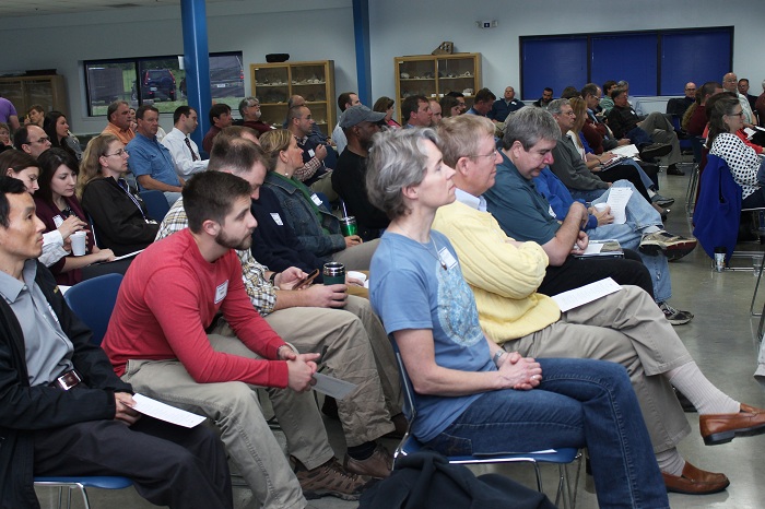 |
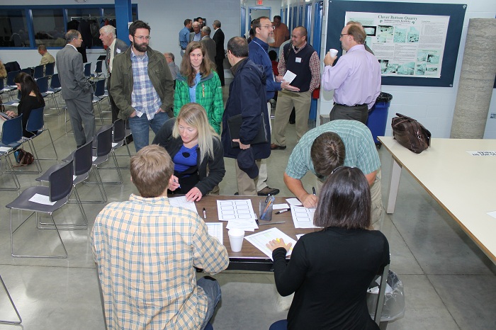
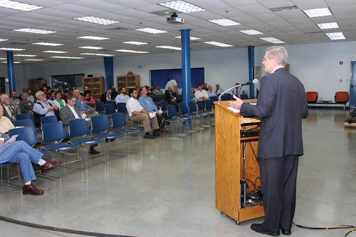
| The large crowd at the annual seminar kept KGS staff and students busy at the check-in tables. | KGS Director and State Geologist Jim Cobb gave the opening remarks. | The crowd attending the 54th annual seminar included professionals in private practice, professors and students from several universities, KGS staff, and professionals with several State agencies. |
 |
 |
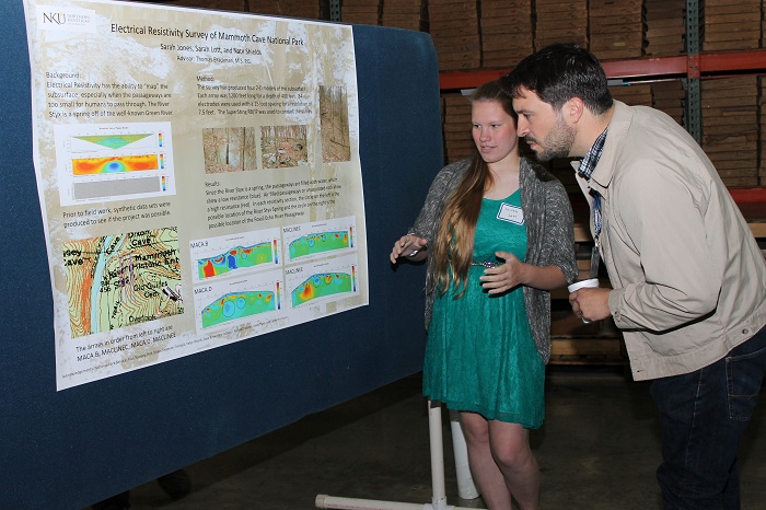 |
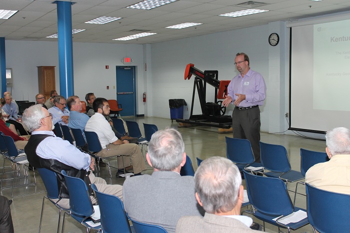
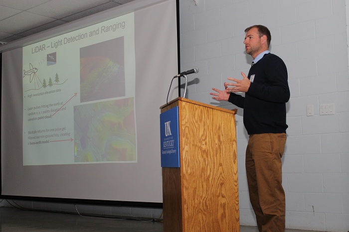
| Mike Meade, of Photo Science, Inc., a Quantum Spatial Company, gave an overview of LiDAR and its uses. | Matt Crawford, of the KGS Geologic Hazards Section, discussed the use of LiDAR for his landslide research. | Northern Kentucky University geology student Sarah Lott explains her research during a poster break. |
 |
 |
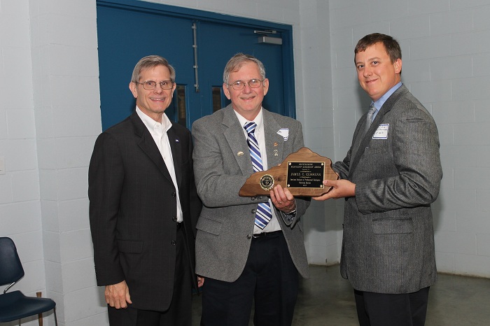 |
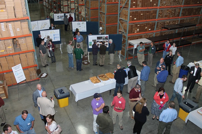
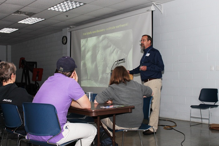
| Participants had a variety of research posters to peruse during the morning break at the seminar. | Carl Shields, an archaeologist with the Kentucky Transportation Cabinet, gave an entertaining presentation on finding ancient earthworks using LiDAR data. | Jim Currens, of the KGS Water Resources Section, received the Outstanding Kentucky Geologist Award from AIPG–Kentucky Section President Bill Brab. |
 |
||
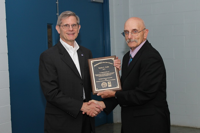
| State Geologist Jim Cobb was presented with the Distinguished Service Award from the Geological Society of Kentucky, presented by Richard Smath, as well as a Lifetime Achievement Award from KY-AIPG. |