
A new map published by the Kentucky Geological Survey (KGS) at the University of Kentucky shows the distribution of the state’s limestone and dolomite deposits that are actively being quarried or potentially viable for recovery. The 33-inch by 55-inch map, Limestone and Dolomite Resources of Kentucky (Map and Chart 203, Series 12, 2013), is useful to the stone quarrying and mining industry as well as property owners and others interested in Kentucky’s geologic resources.
"Now that the Survey has digitized the geologic maps of Kentucky, we were able to use them to create a very accurate map more efficiently and accurately," says the main author of the publication, Garland Dever, Jr. "The result is a much more detailed map of the outcrop distribution and the limestone and dolomite resources."
The map shows the distribution of the 13 rock units -- each depicted by a specific color -- from which limestone and dolomite have been commercially produced. Locations of active and abandoned operations, obtained from state agencies, are also shown. In 2008, the latest year that statistics are available, 51 million metric tons of stone worth $411 million was quarried and mined in Kentucky, ranking the state 12th in the country in production. The stone is used for multiple purposes, including construction, agricultural limestone, and making absorbent products to reduce sulfur oxide from power-plant emissions as well as rock dust to prevent explosions in coal mines.
"In 1949, the Survey started a program to analyze Kentucky limestone deposits for their chemical quality," Dever says. "We wanted to know if these deposits have high calcium carbonate content useful for industrial purposes." The sites sampled for this program are also indicated on the new map.
"Garland Dever’s meticulous field notes and career-long sampling and analysis efforts have created an extraordinary information resource for producers and users of limestone aggregate," says KGS Associate Director Jerry Weisenfluh, who co-authored the map. "This map is the key to that career-long work. In the near future, we will be making all that data, including over 10,000 chemical analyses, available over the internet."
Dever retired from KGS over a decade ago, after a 40-year career with the Survey. But he says he wants to finish organizing the information he gathered during that time to make it available to the public; the limestone and dolomite map is one of the results of that post-retirement work.
The map can be viewed and downloaded from this KGS Web page: https://kgs.uky.edu/kgsweb/olops/pub/kgs/MC203_12.pdf. (The file is over 33 MB in size. Printing the 33-inch by 55-inch map will require a large-scale plotter.) Paper copies of the map are available from the KGS Public Information Center on the UK campus for $10 each plus shipping. They may be ordered by calling (859) 257-3896, or toll free at (877) 778-7827, and asking for publication # 17703.
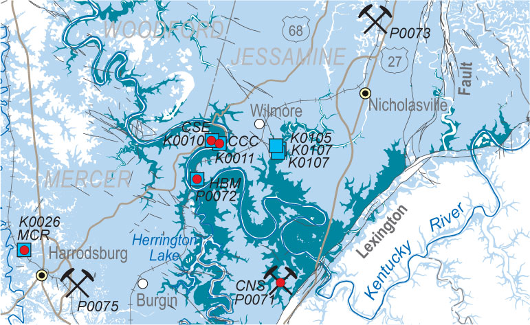
Detail from a section of Limestone and Dolomite Resources of Kentucky.