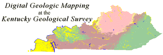
The Digital Geologic Mapping group at the Kentucky Geological Survey (KGS) is establishing a spatial database that contains data from all 7.5-minute geologic quadrangle maps that cover Kentucky. These 707 geologic maps were produced by the U.S. Geological Survey (USGS) and KGS between 1960 and 1978. Kentucky is unique in that it is the largest state that has been completely mapped at a scale of 1:24,000. This has allowed Kentucky to become one of the nation's leaders in digital geologic mapping. The spatial database created from this project will allow users to create seamless, customized geologic maps and analyze and manipulate the data with a geographic information system (GIS) or other programs (such as AutoCAD).
The Geospatial Analysis Section at KGS develops, manages and serves digital data. KGS is currently developing plans to make the data available to the public. KGS is also developing an Internet map server to help serve these digital data. Check the KGS Web site for new developments.
Thirty-two digitally vectorized geologic quadrangle data sets from the Harrodsburg 30 x 60 minute quadrangle are now available for $10 each. Contact Publication Sales at 859.257-3896 for ordering information.