
The Kentucky Geological Survey has archived this material, meaning (1) it is for reference, research, or recordkeeping; (2) it was created before April 24, 2026; (3) and the material has not been changed or altered since being archived. Please refer to our KGS Accessibility page for more information.
KGS Home > Geology of Kentucky
The Jackson Purchase or Mississippi Embayment Region![]()
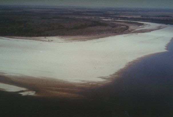
The Jackson Purchase, or Mississippi Embayment Region, shown in yellow on the map, is located in western Kentucky where Cretaceous and Tertiary sediments occur at the surface (see the geologic map). The Jackson Purchase is the northeastern part of the upper Mississippi Embayment, a part of the Gulf Coastal Plain. The Mississippi River Valley is situated along the axis of the embayment. Because most of the Cretaceous, Tertiary and Quaternary deposits are unconsolidated sediment instead of rock, they are easily eroded, and, consequently, this part of Kentucky is relatively flat lying, with numerous lakes, ponds, sloughs, and swamps. Local relief is generally less than 100 feet, and the lowest spot in the State, at only 260 feet above sea level, is found here.
The upper Mississippi Embayment is underlain by faults of the New Madrid Fault Zone, the most active earthquake zone in the central United States. The New Madrid earthquakes of the winter of 1811-1812 were the strongest in recorded United States history and were caused by movement along the New Madrid faults in Missouri and extreme western Kentucky.