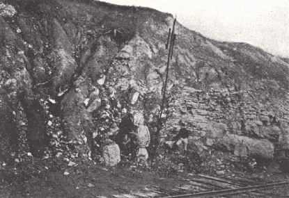
The Clore (?) limestone (right) is faulted against Pottsville (left).
Greenville, Muhlenberg County.
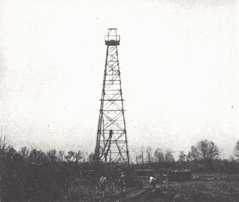
came in dry.
The Western Coal Field is the region of Pennsylvanian outcrop in western Kentucky, an area of about 4,680 square miles. It is a topographic as well as a structural basin. The margin is the rugged stretch of Caseyville outcrop forming a high rim ,about a lower interior. Structurally it is a part of the great syncline in which the Pennsylvanian is preserved in Illinois, Indiana, and Kentucky (Eastern Interior Coal Basin). The outward-facing Pottsville cuesta capped with the Caseyville sandstone is not the striking topographic feature that the Cypress cuesta is, but it does form a belt of higher and more rugged hills than in the country adjoining. Flint (1928) has treated the whole area lying within the Dripping Springs Escarpment as a single section, the Shawnee Hills. Others have separated the Mammoth Cave Plateau because of its solution features even though the area of Cypress outcrop matches that of the Caseyville in ruggedness.
| PLATE LII | |
|
|
|
| FIG. 1. Empire fault in
railroad cut near Crofton, northern Christian County. The Clore (?) limestone (right) is faulted against Pottsville (left). |
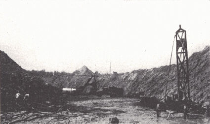
FIG. 2. Strip mine, No. 14 coal, near Madisonville, Hopkins County. |
|
|
|
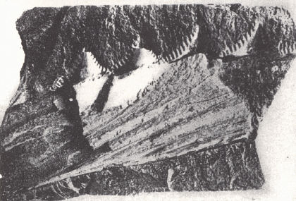
| FIG. 3. Shark jaw (Edestus)
from the Pennsylvanian, Duncan coal mine near Greenville, Muhlenberg County. |
FIG. 4. Snowden & McSweeney's
well near Madisonville. The well came in dry. |
Except for lower altitude and relief the border belt of Caseyville outcrop is a duplicate of the rugged western border belt of the Eastern Coal Field. Vertical sandstone and conglomerate cliffs border the ridge tops on the outer edge and become rockbound valleys with rapids and waterfalls farther in. This border strip is deflected eastward across the Mammoth Cave Plateau and Pennyroyal in Hart, northern Green and Taylor, and southern Larue counties. It is Burroughs' (1923) Pottsville-filled channel in which the Caseyville rests on the St. Louis.
Within the border belt the country is a maturely dissected plateau with rolling hills and valleys of moderate width. The surface shows a general accordance of summit level, which seems to represent the equivalent of the Lexington plain of central Kentucky. (See the Henderson upland of Glenn, 1922; and the Canoe Creek Plain of Theis.1) This upland level is interrupted by cuestas formed on the Sebree, Anvil Rock, and other cliff-forming sandstones. A conspicuous line of higher hills follows the Rough Creek uplift. Here the Caseyville is again brought to the surface in the valleys and gives the narrow rocky gorges characteristic of the border belt.
An outstanding feature of the Western Coal Field as well as the Purchase and parts of the Mississippian Plateaus are the broad alluvial bottoms of the Green and Tradewater rivers and their larger tributaries. Except where the heavier sandstones outcrop, wide valleys have been carved in the weak shales. Subsequently these valleys were filled with alluvium to depths up to 175 feet, at least. From this flat alluvial floor marginal hills rise abruptly, and within the bottoms partly buried "island hills" occur.
The forming of this valley fill in the Wisconsin and perhaps earlier Pleistocene is discussed on page 164.
Resources.—Coal mining is the great source of income. Agriculture is more favored than in the Eastern Coal Field as a result of lower relief, gentler slopes, and extensive bottom lands, which, though often swampy, may be drained. Maximum improved lands are found in the Ohio River counties with their great bottom lands up to 7½ miles wide. Maximum unimproved land is found in the marginal counties such as Edmonson, Muhlenberg, and Butler. The Owensboro oil field is an outstanding producer in the state and minor oil and gas pools have been developed elsewhere. Rock asphalt is mined along the western margin in Edmonson and Grayson counties. Limestone is uncommon but is quarried at Madisonville.
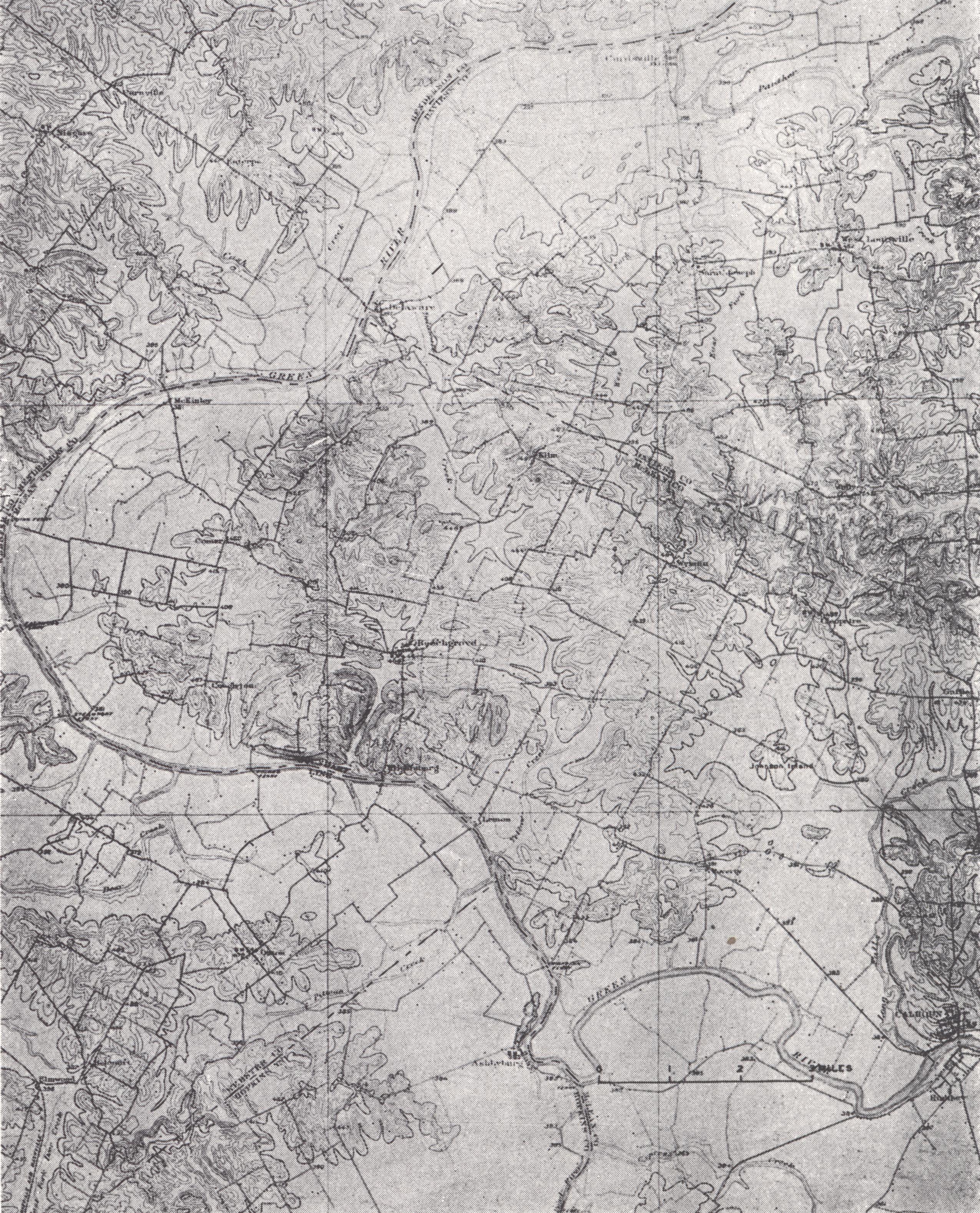 |
| PLATE LIII Calhoun topographic sheet (± x ⅓) |
Footnote
1 Geology of Henderson County, Kentucky, unpublished manuscript, Ky. Geol. Surv.