
The Kentucky Geological Survey has archived this material, meaning (1) it is for reference, research, or recordkeeping; (2) it was created before April 24, 2026; (3) and the material has not been changed or altered since being archived. Please refer to our KGS Accessibility page for more information.
KGS Home > Oil and Gas
FAQ: Are farm or lease maps available for Kentucky?
Farm or lease maps showing boundaries of mineral tracts and ownerships are not generally available for Kentucky. The Geologic Data Center at the Kentucky Geological Survey has collected some historic maps showing selected producing fields for KGS internal use.
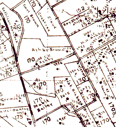
A set of maps known as the "Keller" maps are available for much of the oil producing region of western Kentucky. Each Keller map shows farm/lease boundaries and ownership (at the time of the map) for a 5-mintue Carter coordinate quadrangle at a scale of 1:24,000. These maps were originally drawn from the 15-minute (1:62,500) topographic maps generally available at the time. There is no easy or automatic way to determine correspondence between modern U.S.G.S. 7.5-minute topographic quadrangles and the Keller maps; resolving well locations is best accomplished by the best fit of the Keller map overlain with a standard U.S.G.S topographic map. These maps are copyrighted and the Survey cannot provide copies of any portion or the complete area of a Keller map.
For information about the Keller map set in our Lexington office, contact KGS Publication Information Center.