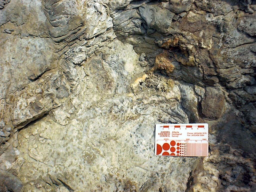
| Image | Processed | Waypoint | Description |
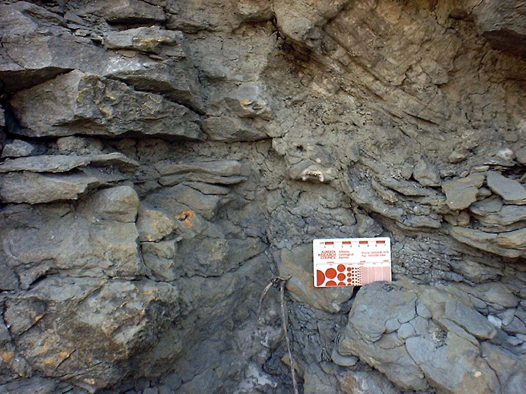
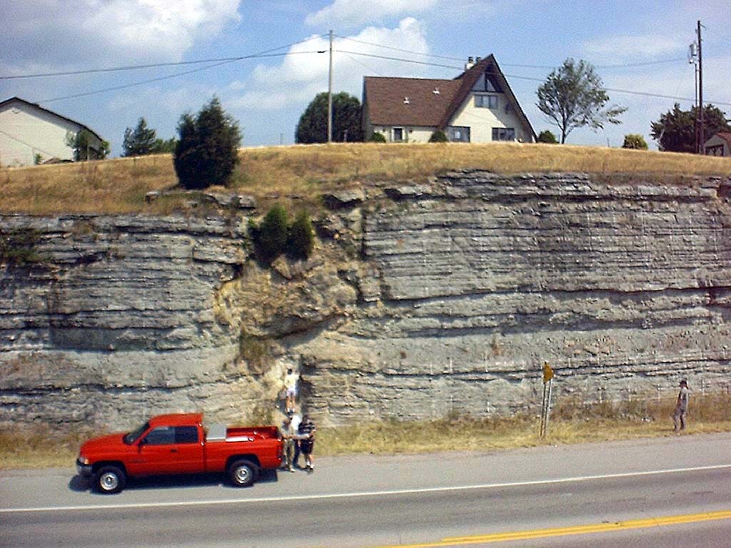
 kyr_0001.jpg |
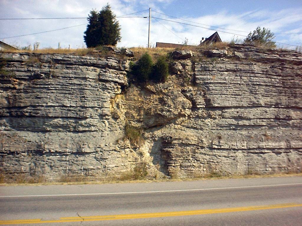
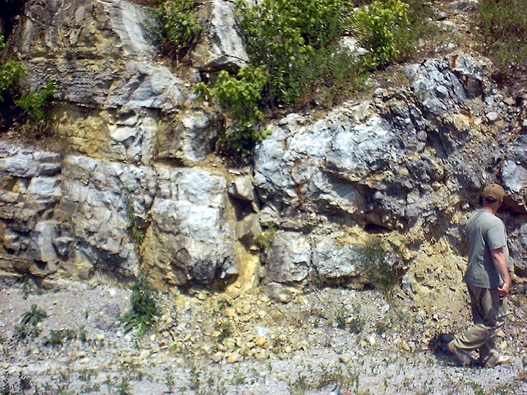
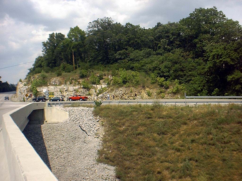
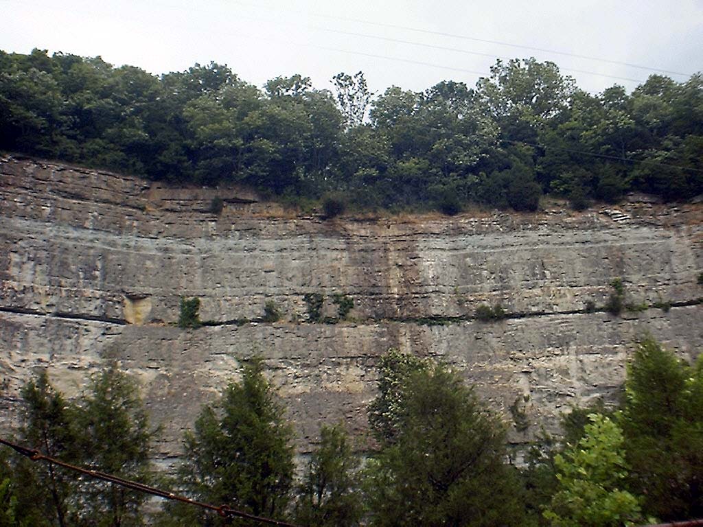
Yes | 2 | T-dolostone body, Hwy 627 roadcut (looking NW) |
 kyr_0002.jpg |
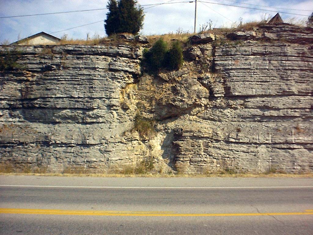
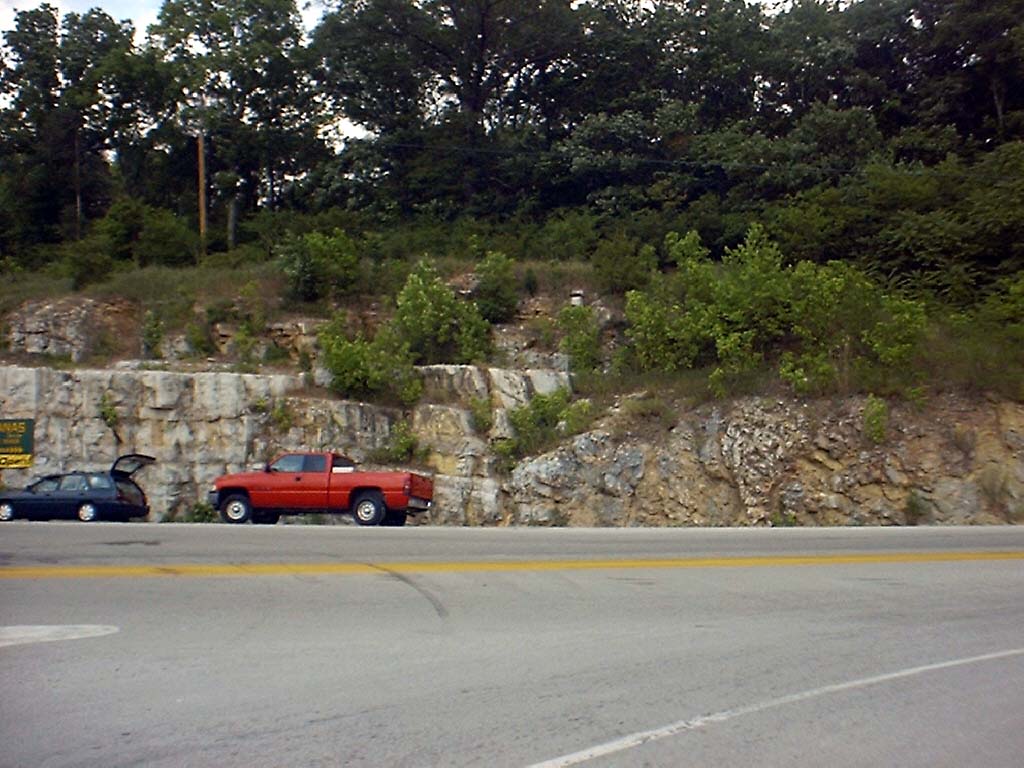
No | 2 | T-dolostone body, Hwy 627 roadcut (looking NW) |
 kyr_0003.jpg |
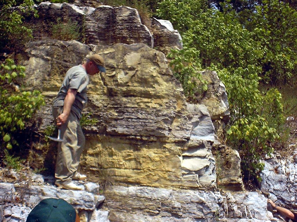
No | 2 | Structure across road from main body (looking SE) |
 kyr_0004.jpg |
No | 2 | Structure across road from main body (looking SE) |
 kyr_0005.jpg |
No | 2 | Dolomite filled vugs in fracture, SE side of road cut |
 kyr_0006.jpg |
No | 2 | Dolomite filled vugs in fracture, SE side of road cut |
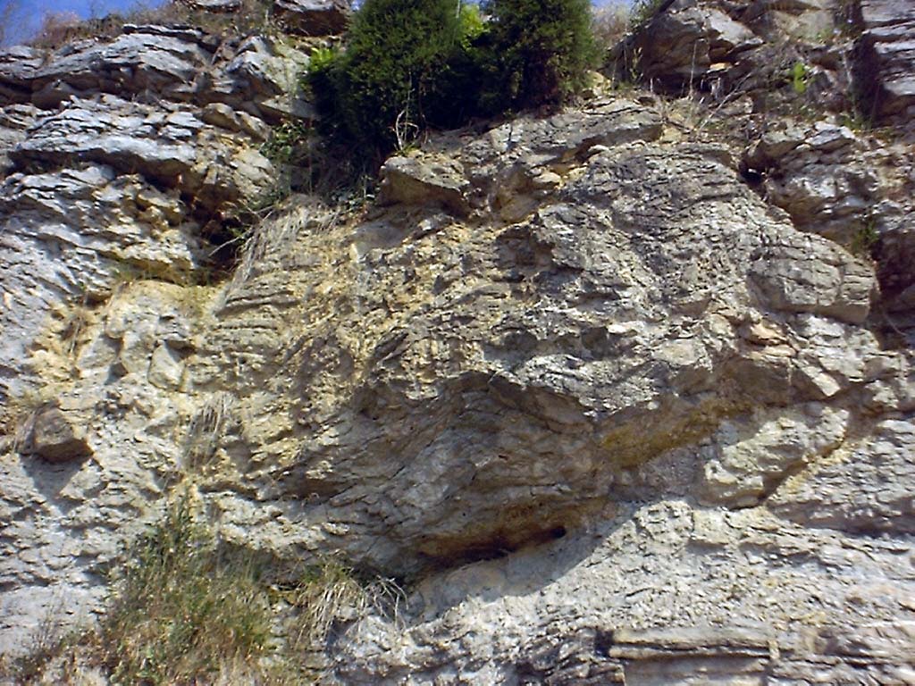
 kyr_0007.jpg |
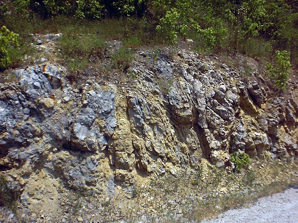
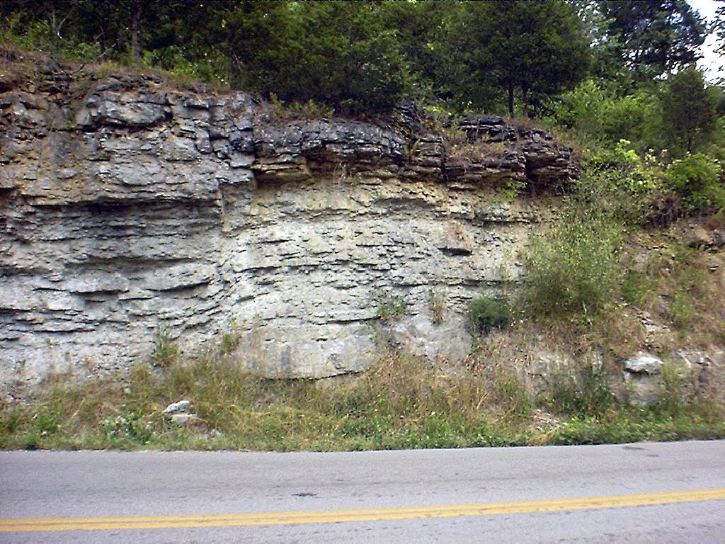
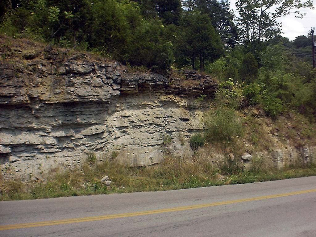
No | 2 | Edge of T-dolostone body |
 kyr_0008.jpg |
No | 2 | Edge of T-dolostone body |
 kyr_0010.jpg |
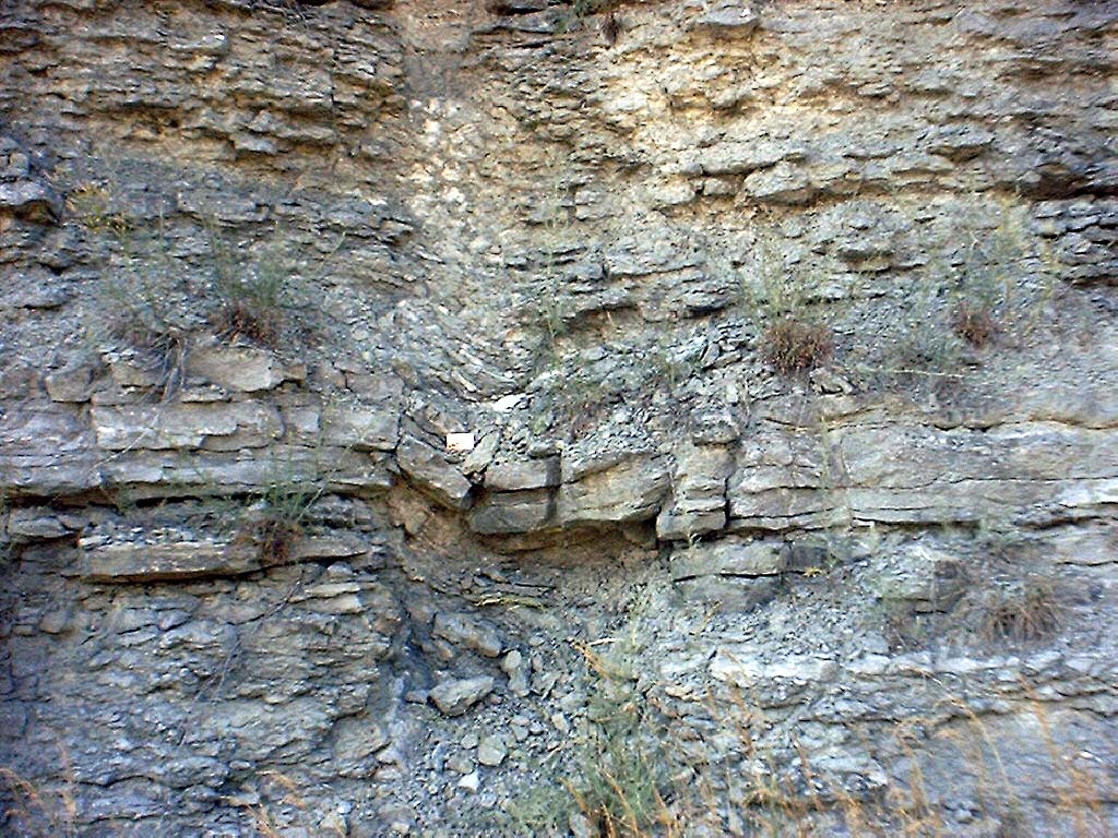
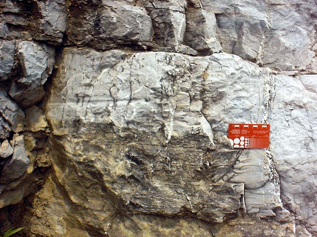
No | 2 | Saddle dolomite in vugs in T-dolostone body |
 kyr_0011.jpg |
No | 2 | T-dolostone body, Hwy 627 roadcut (looking NW) |
 kyr_0012.jpg |
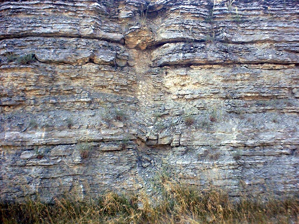
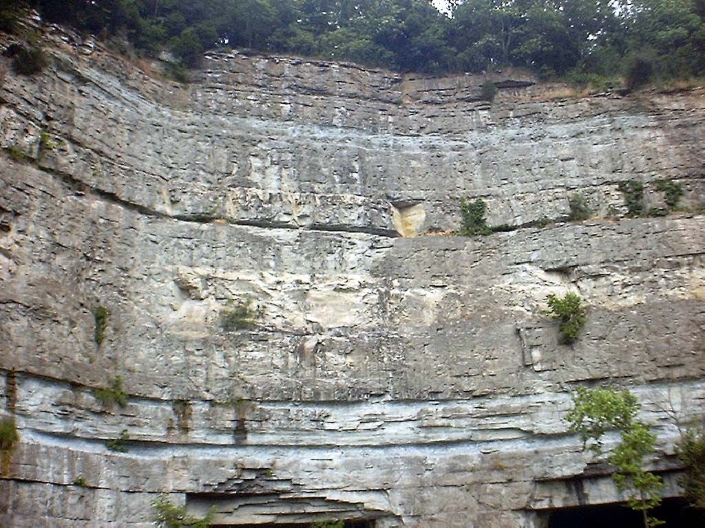
No | 2 | Detail of main mass of T-dolostone body |
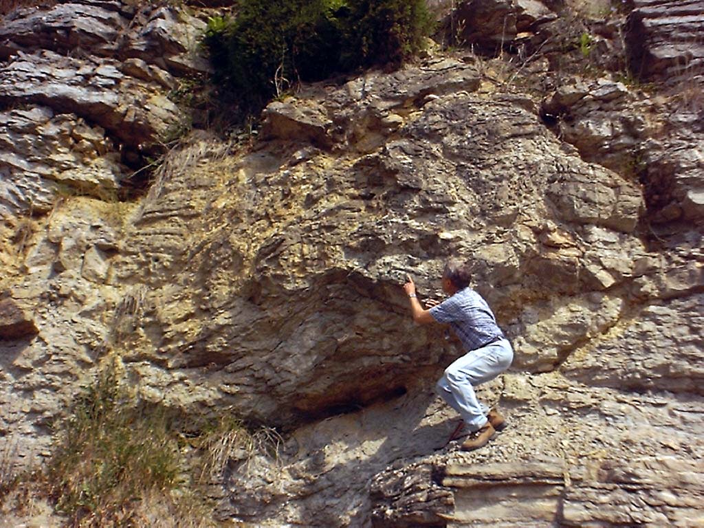 kyr_0013.jpg |
No | 2 | Detail of main mass of T-dolostone body |
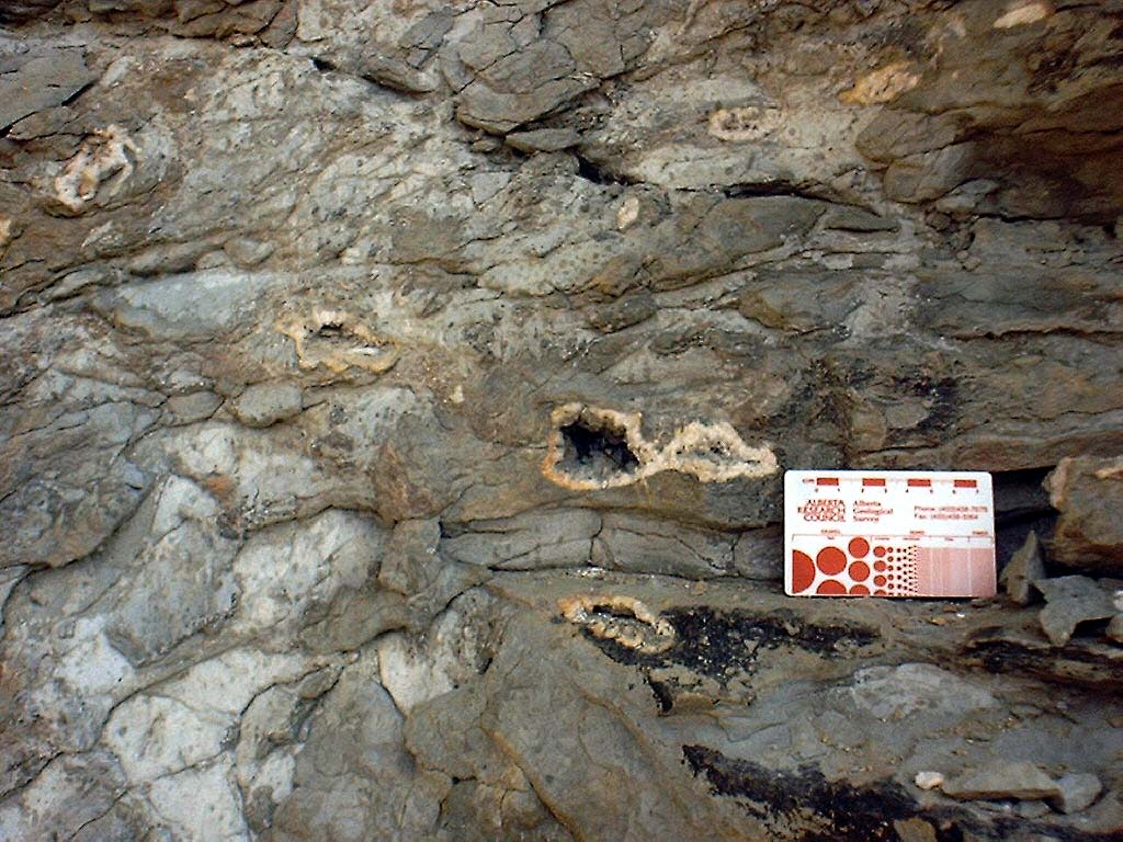
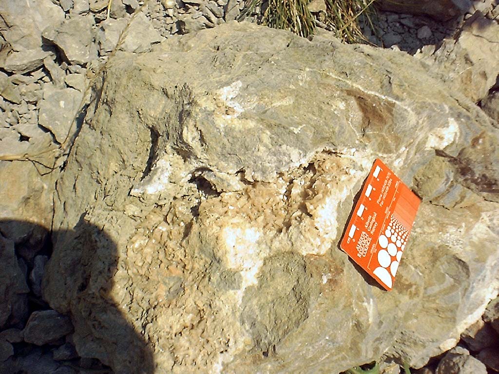 kyr_0015.jpg |
Yes | 2 | Saddle dolomite in vugs in T-dolostone body. |
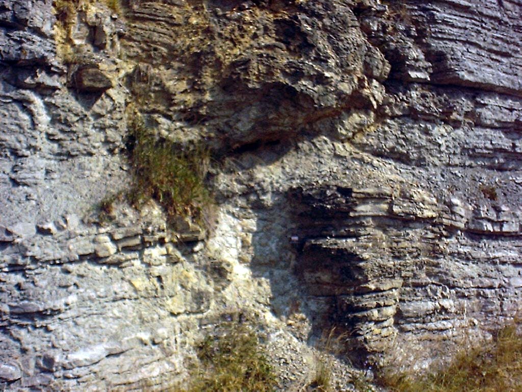
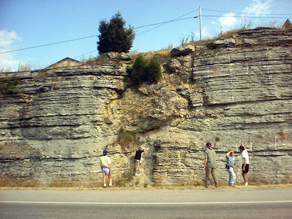
 kyr_0019.jpg |
No | 2 | View of T-dolostone body from top of opposite roadcut. |
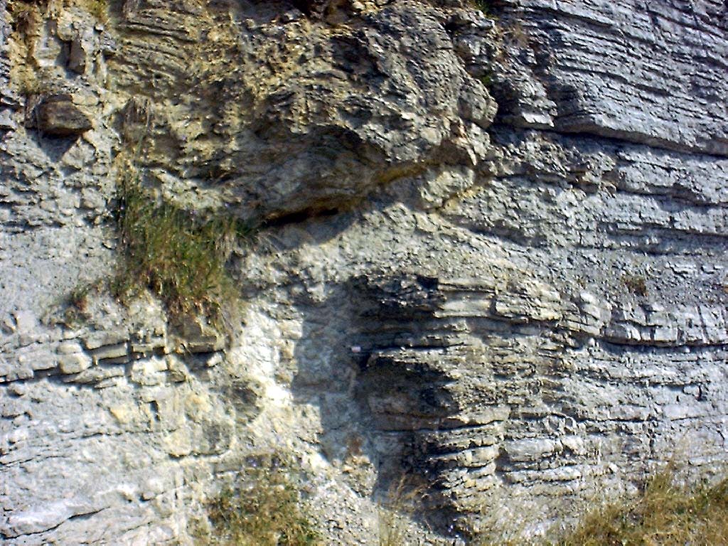
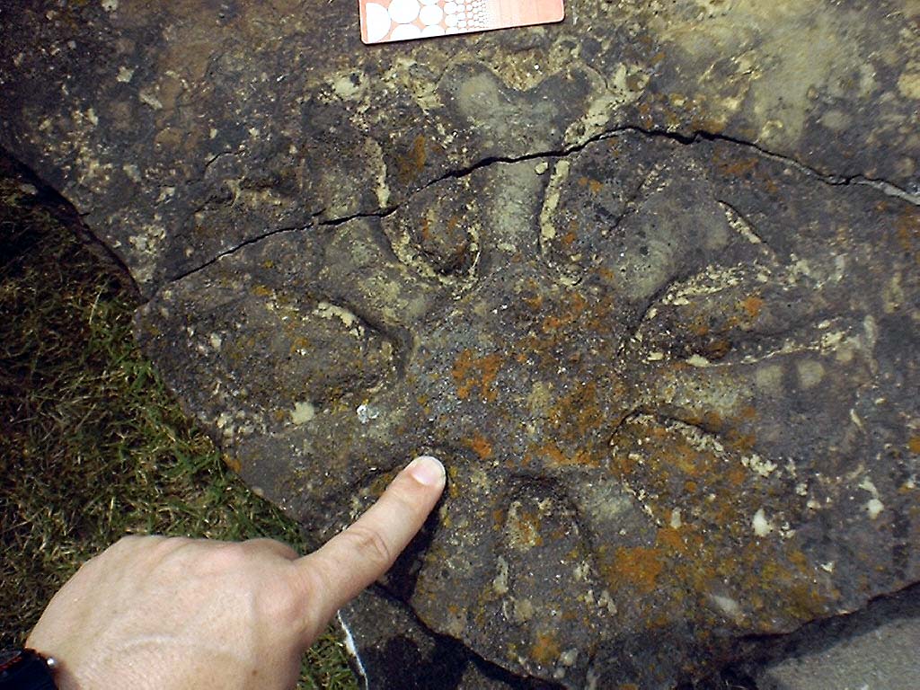
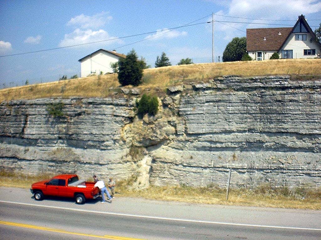 kyr_0020.jpg |
Yes | 2 | View of T-dolostone body from top of opposite roadcut. |
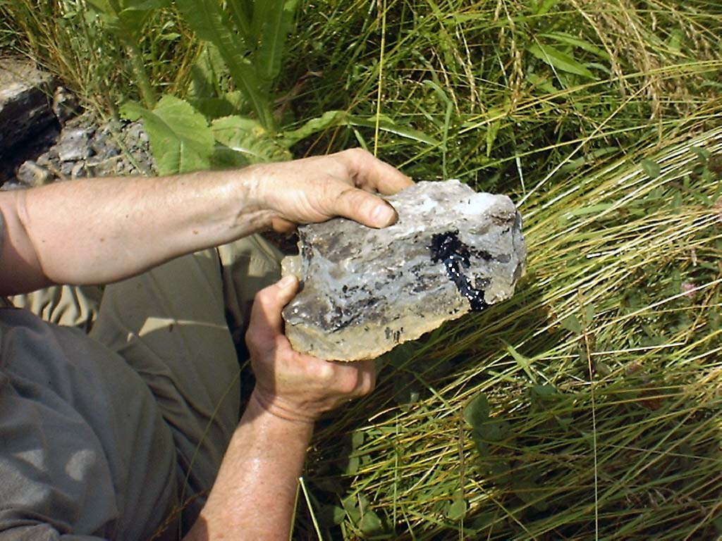
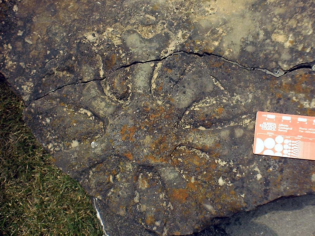 kyr_0021.jpg |
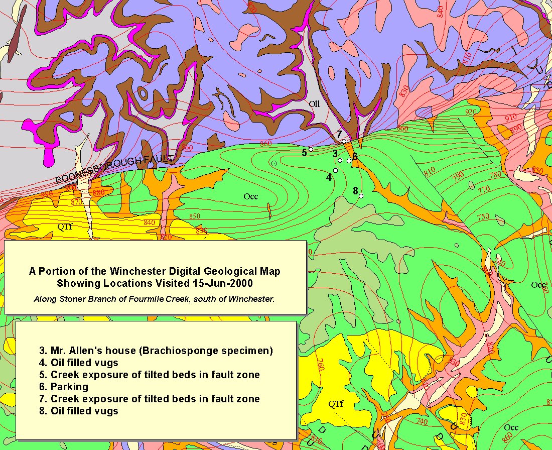
Yes | 3 | Brachiosponge collected by J Allen (landowner) from creek next to his house. |
 kyr_0022.jpg |
Yes | 3 | Brachiosponge collected by J Allen (landowner) from creek next to his house. |
 kyr_0025.jpg |
Yes | 4 | Oil-filled vugs from Ordovician Calloway Creek |
 kyr_0026.jpg |
No | 4 | Oil-filled vugs from Ordovician Calloway Creek |
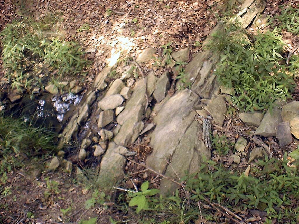 kyr_0030.jpg |
Yes | 5 | Dipping beds in creek, local expression of the Kentucky River Fault Zone |
 kyr_0031.jpg |
No | 9 | Oregon (left) upthrown against Lexington-type (right) lithologies in the KYRFZ at intersection of Hwys 627 and 1924 |
 kyr_0032.jpg |
No | 9 | Mineralized fractures in Oregon (see differential erosion especially at knee level) |
 kyr_0035.jpg |
No | 9 | Mineralized fractures in Ordovician Oregon |
 kyr_0036.jpg |
No | 9 | Rubble zone on downthrown side of Kentucky River Fault Zone (KYRFZ) |
 kyr_0039.jpg |
No | 9 | KYRFZ at intersection of Hwys 627 and 1924 |
 kyr_0040.jpg |
No | 9 | KYRFZ at intersection of Hwys 627 and 1924 |
 kyr_0041.jpg |
No | 9 | Growth faulting in Lexington, displacement evident in Tanglewood Ls (see Black and Haney, 1975, fig. 4, p. 8) |
 kyr_0042.jpg |
No | 9 | Growth faulting in Lexington, displacement evident in Tanglewood Ls (see Black and Haney, 1975, fig. 4, p. 8) |
 kyr_0043.jpg |
No | 10 | Bentonites in highwall of abandoned quarry on road to Halls on the River (restaurant) |
 kyr_0044.jpg |
Yes | 10 | Bentonites in highwall of abandoned quarry on road to Halls on the River (restaurant) |