
The Kentucky Geological Survey has archived this material, meaning (1) it is for reference, research, or recordkeeping; (2) it was created before April 24, 2026; (3) and the material has not been changed or altered since being archived. Please refer to our KGS Accessibility page for more information.
KGS Home > Maps and GIS
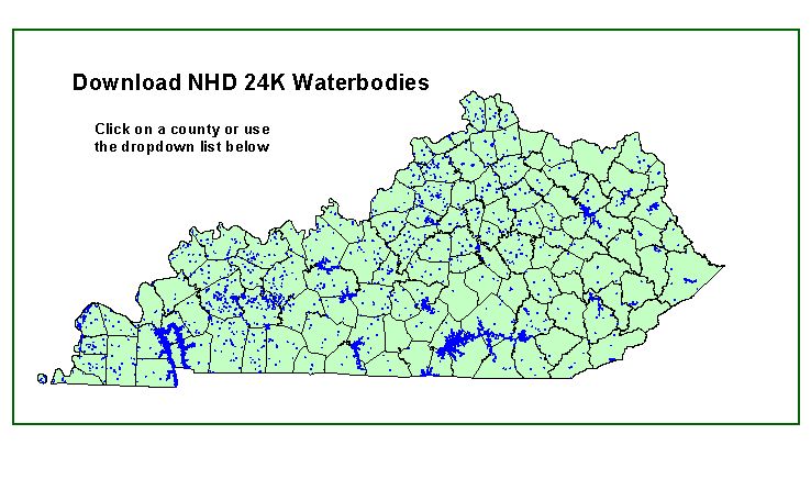
Download NHD 24K Waterbodies
DOWNLOAD FULL DATA SET
(45.5 Mb FILE!!!)