Contact: Dave Harris and Jim Drahovzal

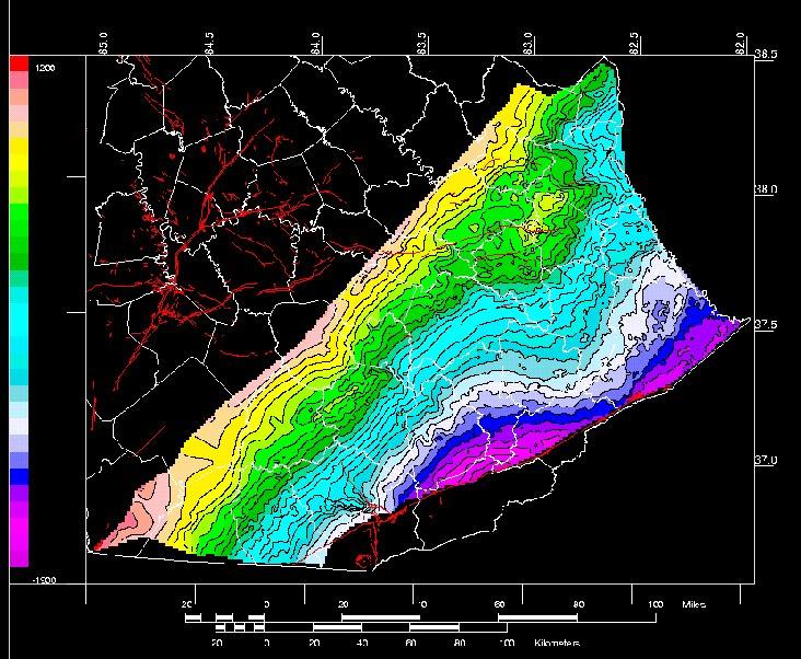
The Kentucky Geological Survey is producing regional maps, all published at the same scale, showing the structure and thickness of important geologic horizons and intervals in Kentucky. This information is critical for energy and mineral industries, and for environmental issues. Furthermore, it will serve as a framework for future research by industry, government, and academia. Geophysical data are also being collected. Data from a study on the Slade Formation (Big Lime) of eastern Kentucky have been interpreted, and a map of the structure on the top of the Slade Formation is being completed and will be published later in 2002. An isopach map of part of the Slade Formation is also being made. The top of the Mississippian Borden Group will be the next unit to be mapped. Data collected as part of the Corniferous project will also be used to prepare structure and isopach maps as part of this series.
Most of the research on Cambrian basins is taking place as part of the Rome Trough Consortium. KGS is also sponsoring Tina White, a graduate student at the University of Kentucky Department of Geological Sciences, who is researching the kinematics of the growth faulting in the Rome Trough, using available seismic data. There is a continuing effort to produce a color, print-on-demand map for the top of basement in the western Rough Creek Graben. The new map will be based on a map published by the U.S. Geological Survey in cooperation with the Illinois Basin Consortium in 1998 (U.S. Geological Survey Geologic Investigations Series I-2583-D) or try seismotectonic maps. Newly acquired seismic and well data for the Cambrian rift basins (Rome Trough and Rough Creek Graben) and the East Continent Rift Basin continue to add to our understanding of these deep features.