| Topography | ||
|
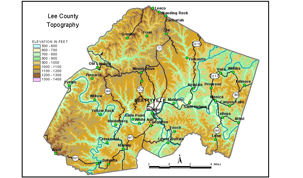
Discussion from McGrain and Currens (1978) Lee
County is near the western edge of the Eastern Kentucky coal field.
It is well dissected by normal stream erosion. Upland elevations between
1000 and 1200 feet are typical of most of the area. The north-central
and northwestern portions of the county are characterized by cliff-lined
valleys and ridges. Underground drainage features are also found in
some of the valleys in the northwest sector, modifying some of the normal
valley profiles. The highest point in the county, 1,367 feet, is a ridge on the Lee-Owsley
County line about 3 1/2 miles southwest of Athol. The elevation of Beattyville, the county seat, is 666 feet. Elevations at other communities are Athol, 745 feet; Heidelberg, 668 feet; St. Helens, 720 feet; Tallega, 733 feet; and Zachariah, 1,239 feet. The 7.5-minute topographic quadrangle maps that cover the county are
shown, by name and by index code (Kentucky Natural Resources and Environmental
Protection Cabinet) on the index
map. Previous--Next--Back to "Groundwater Resources in Kentucky"
|
||