| Topography | ||
|
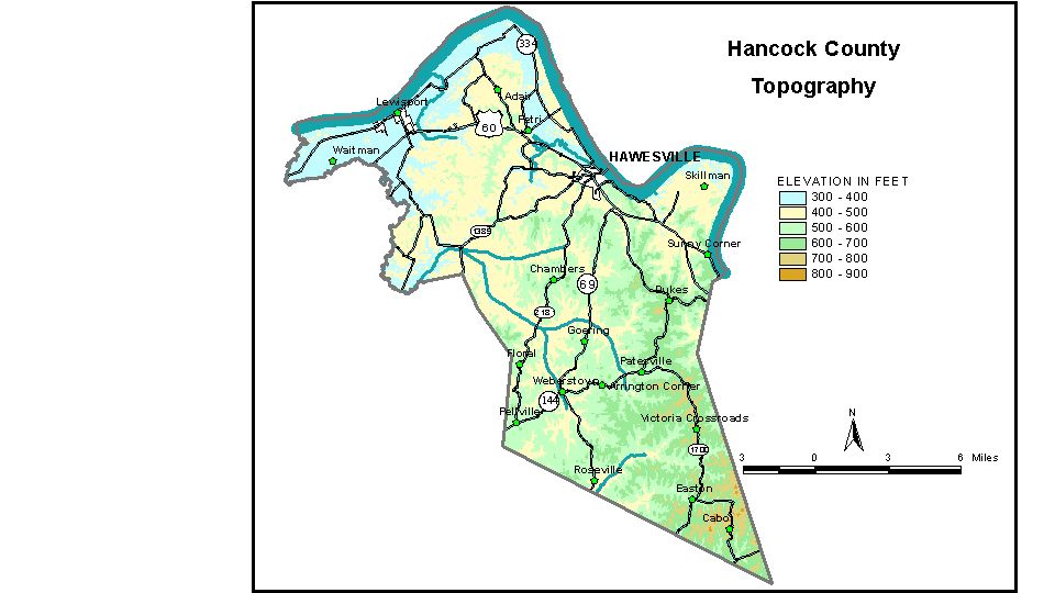
Discussion from McGrain and Currens (1978) The topography of Hancock
County is typical of the perimeter of the Western Kentucky Coal
Field. It is hilly to rolling except near the Ohio River, where wide
alluvial flats are present. Locally, particularly in the northeastern
part of the county, massive, resistant sandstones contribute to a more
rugged terrain characterized by gorge-like valleys and steep, rocky
cliffs. The highest elevation in the county is on a ridge about 1 mile east-southeast
of Easton, where 840 foot contours are recorded. The greatest local
relief is along the Ohio River bluffs, where differences in elevation
between the river and the adjacent ridgetops are approximately 300 feet. The lowest elevation is the Ohio River. The normal pool elevation of
the river below Cannelton Locks and Dam is 358 feet. The normal pool
elevation upstream from the dam is 383 feet. Floodplain elevations are
generally 390 to 400 feet. The elevation of Hawesville, at the courthouse, is 419 feet. Other elevations are Easton, 563 feet; Lewisport, 394 feet; Pellville, 536 feet; and Roseville, 518 feet. The 7.5-minute topographic quadrangle maps that cover Hancock County
are shown, by name and by index code (Kentucky Natural Resources and
Environmental Protection Cabinet) on the index
map. Previous--Next--Back to "Groundwater Resources in Kentucky"
|
||